Jens Ammon
Geomorphic Change Detection Modeling
River Feshie, Scotland


Left Geomorphic Change Detection (GCD) software was used calculate the elevation difference between surveys of the River Feshie between 2005 and 2006 (Difference of DEMs). This calculated topographic change for the reach shows areas of raising and lowering elevation with a confidence level of 80%.
Right The topographic change was then interpreted into various erosional and depositional geomorphic features. Areas along the edge of the channel with strong elevation decrease were interpreted as Bank Erosion. Mid-channel areas with moderate elevation decrease were interpreted as Degradation. Mid-channel areas with moderate elevation increase were interpreted as Aggradation. Areas with strong elevation increase, either mid-channel or along the banks, were interpreted as Bar Development.
Geomorphic features were also determined by comparing the two DEMs as follows:
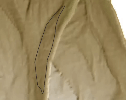
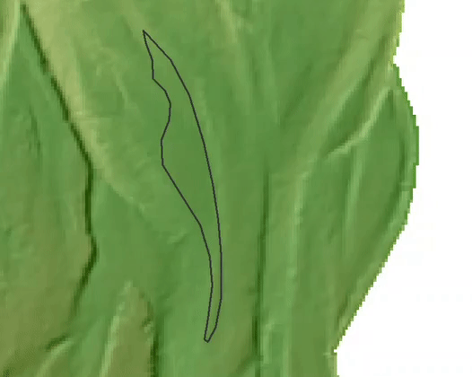
Bank Erosion

2005
2006
Degradation
2005
2006

Bar Development

2005
2006
Aggradation
2005
2006

Delineated geomorphic units were then compiled into a Budget Segregation report, quantifying how much elevation change is caused by each geomorphic process. Overall, the reach had roughly 728 cubic meters of what is interpreted as deposition and roughly 444 cubic meters of erosion. However, these values are based only on the geomorphic features identified in the exercise and does not account for all the surface rise/drop detected by the GCD model.
Individual geomorphic features account for elevation change as follows:
Bank Erosion
Total Volume Drop: 213.57 m ± 82.91
Area of Drop: 293 m
Bank Erosion is a concentrated event, causing large amounts of elevation change at a single point or short section of channel. This can be seen in that bank erosion makes up the high magnitude change values on the graphs, and that the total affected area is relatively small.
3
2


Degradation
Total Volume Drop: 231.13 m ± 94.03
Area of Drop: 1065 m
Degradation is a diffuse event, causing relatively small elevation drop over large areas of the channel. This can be seen in the graphical skew toward low magnitude drops, and in the relatively large affected area size.
3
2
Bar Development
Total Volume Rise: 485.03 m ± 137.73
Area of Rise: 1444 m
Bar Development can be either a diffuse or concentrated event, depending on channel morphology and hydraulics. This can be seen in the wide graphical distribution of rise magnitudes.
3
2


Aggradation
Total Volume Rise: 243.21 m ± 102.54
Area of Rise: 1150 m
Aggradation is a diffuse event, causing small to moderate elevation rise over a large areas of channel. This can be seen in the graphical low magnitude rise skew, and in the relatively large affected area for the amount of deposited volume.
3
2